
Description
Topographical Survey Services in Azusa by DEVCO Design and Drafting
At DEVCO Design and Drafting, we are proud to offer professional topographical survey services in Azusa, located in the heart of Los Angeles County. Our expertise in utility drafting, CAD services, and utility mapping solutions makes us a leader in supporting engineering, construction, and infrastructure projects. As a Disabled Veteran Business Enterprise (DVBE), we are not only committed to excellence but also to integrity and service.
What is a Topographical Survey?
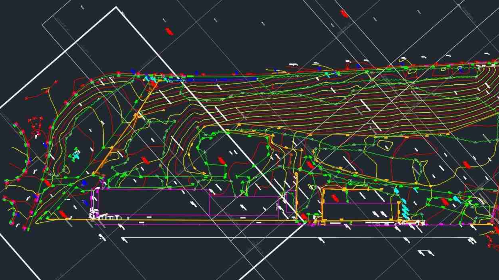
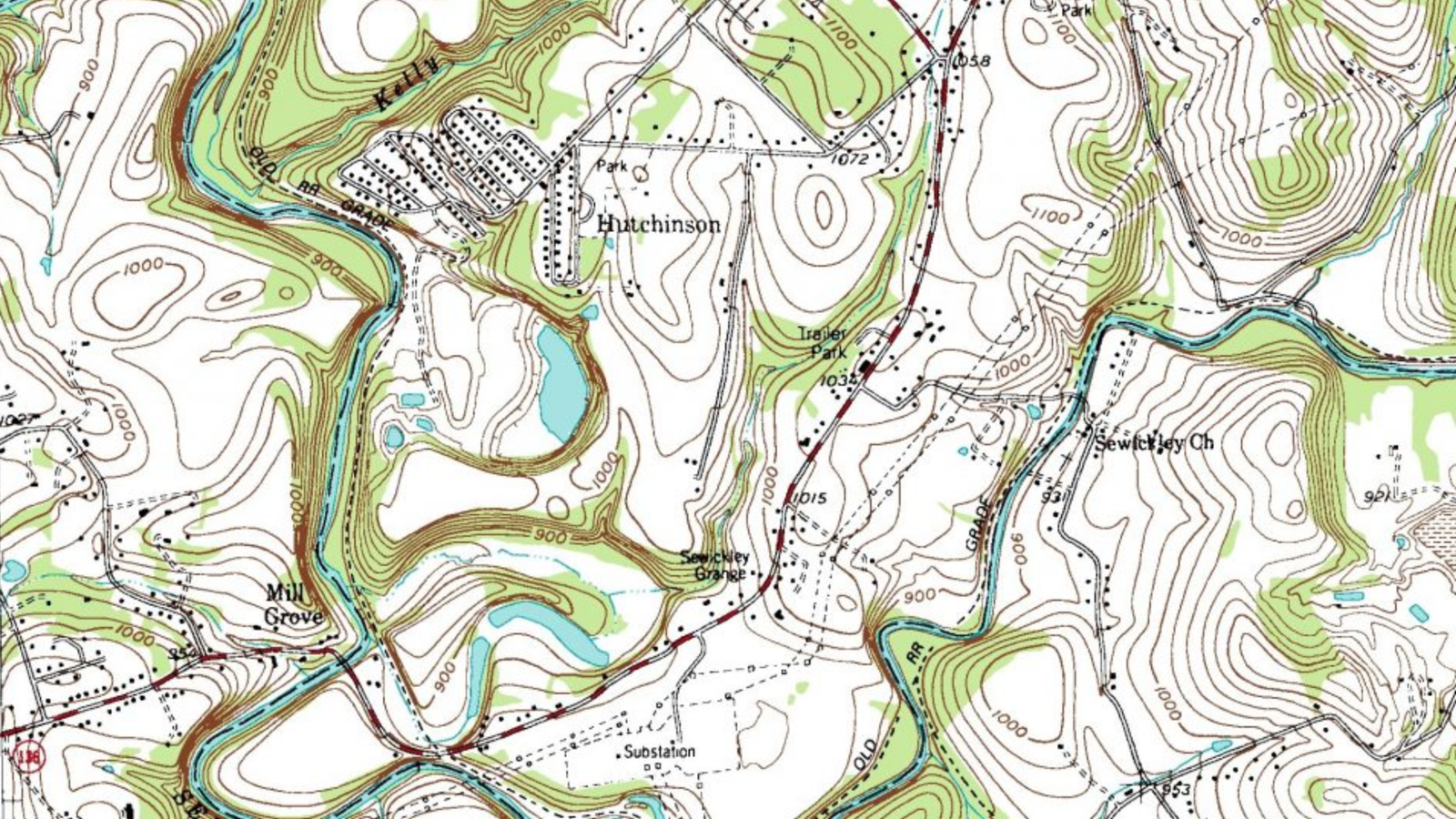
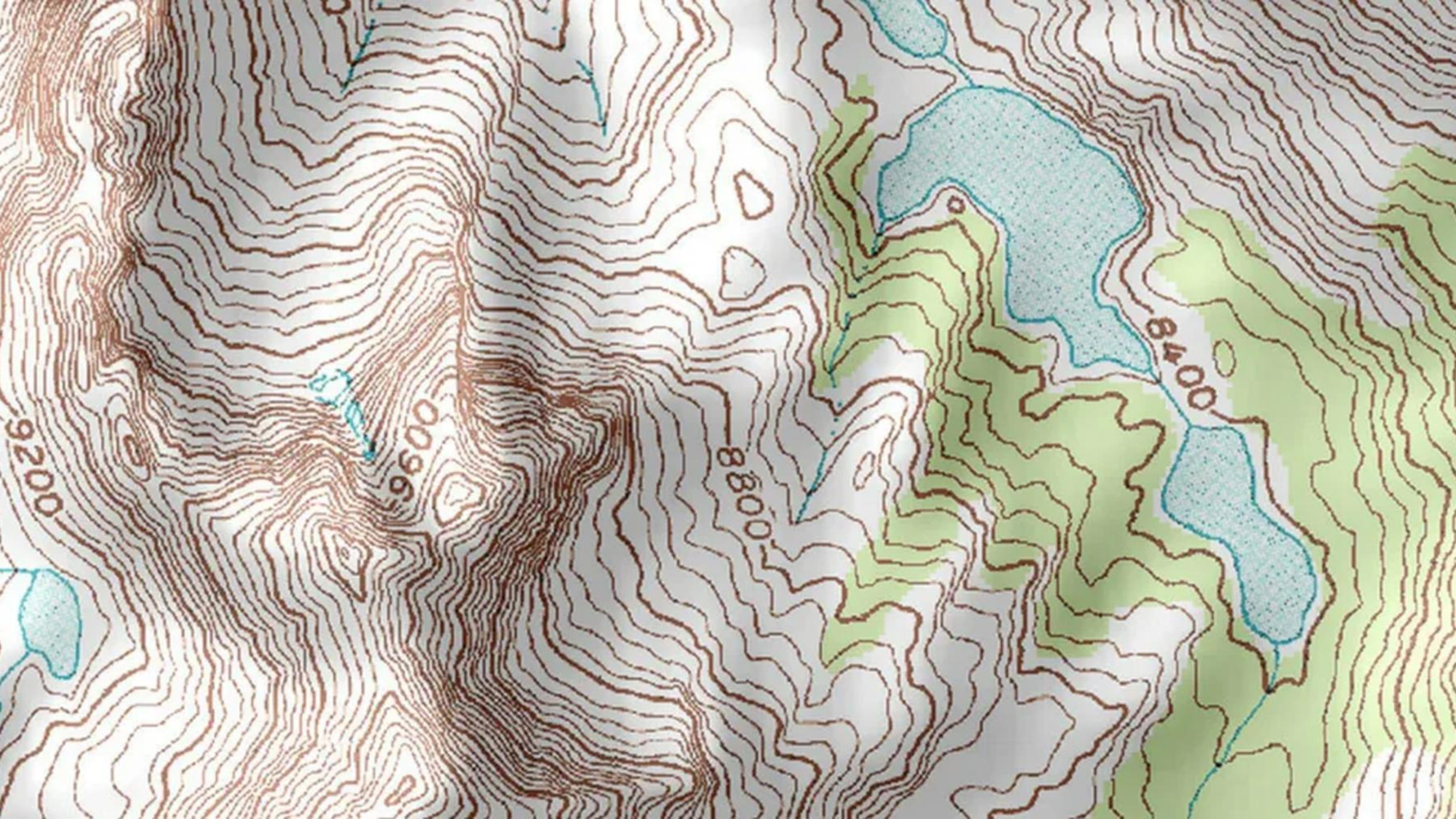
A topographical survey, also known simply as a "survey," is a crucial step in any project involving land development or construction. It involves the measurement and mapping of the physical features of a specific area, providing detailed information about the terrain, elevations, and existing structures. This data is essential for architects, engineers, and planners to make informed decisions about design and construction.
Why Choose Us for Your Survey Needs in Azusa?
- Experienced Professionals: Our team at DEVCO Design and Drafting brings years of experience in conducting precise topographical surveys. We understand the nuances of local geography and regulations in Azusa and the broader Los Angeles County.
- Advanced Technology: We utilize the latest surveying technology to ensure high accuracy and efficiency. From GPS systems to advanced CAD software, our tools are at the forefront of industry standards.
- Commitment to Service: As a DVBE and holder of several certifications including SDVOSB, PDBE, SB-Micro, and SB-pw, we are dedicated to serving our community with integrity and excellence.
Our Topographical Survey Services Include:
- Detailed Elevation Mapping: Understand the precise elevations of your project area for effective planning and design.
- Identification of Natural and Man-made Features: Accurately locate trees, buildings, roads, and other critical features within your site.
- Boundary and Land Division Surveys: Determine legal property boundaries and plan for potential land divisions.
- Construction Staking: Aid in the accurate placement of structures, utilities, and roads during the construction phase.
How Can a Topographical Survey Benefit Your Project in Azusa?
- Risk Mitigation: Identify potential issues early in the project lifecycle, saving time and money.
- Regulatory Compliance: Ensure that your project meets all local zoning laws and construction regulations.
- Enhanced Planning: Utilize detailed site data to optimize design and construction plans, leading to better outcomes.
Interested in learning more about the costs associated with a topographical survey in Azusa? Check out our detailed guide on survey costs.
Contact Us
For more information or to schedule a topographical survey in Azusa, please contact us at:
- Phone: (951) 528-2698
- Email: info@landsurveycalifornia.com
Choose DEVCO Design and Drafting for your topographical survey needs in Azusa. Trust our experienced team to deliver precise, reliable results that will help pave the way for your project's success.
Listing Details
-
CategoryTopographical Survey
-
CountyLos Angeles County
-
CityAzusa
-
Contact Emailinfo@devcodesignanddrafting.com
-
Phone Number(951) 528-2698