
Description
Topographical Survey Services in Dana Point by DEVCO Design and Drafting
At DEVCO Design and Drafting, we specialize in providing precise and comprehensive Topographical Survey Dana Point services. Located in the beautiful region of Orange County, our expertise is not just limited to drafting and CAD services; we excel in detailed topographical surveys that cater specifically to the needs of Dana Point and its surrounding areas.
What is a Topographical Survey?
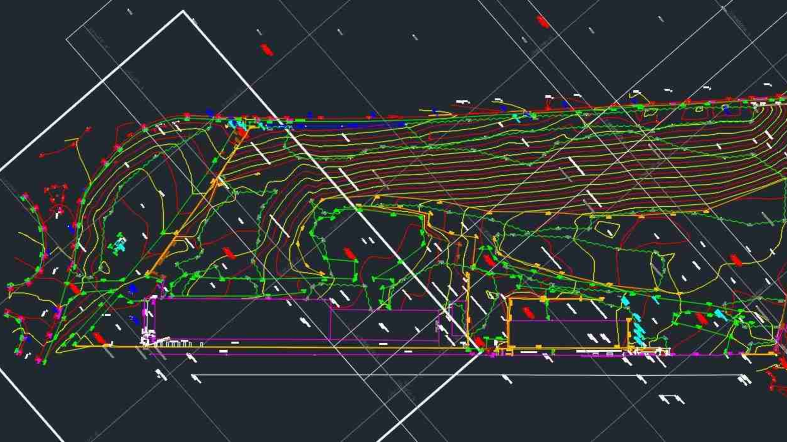
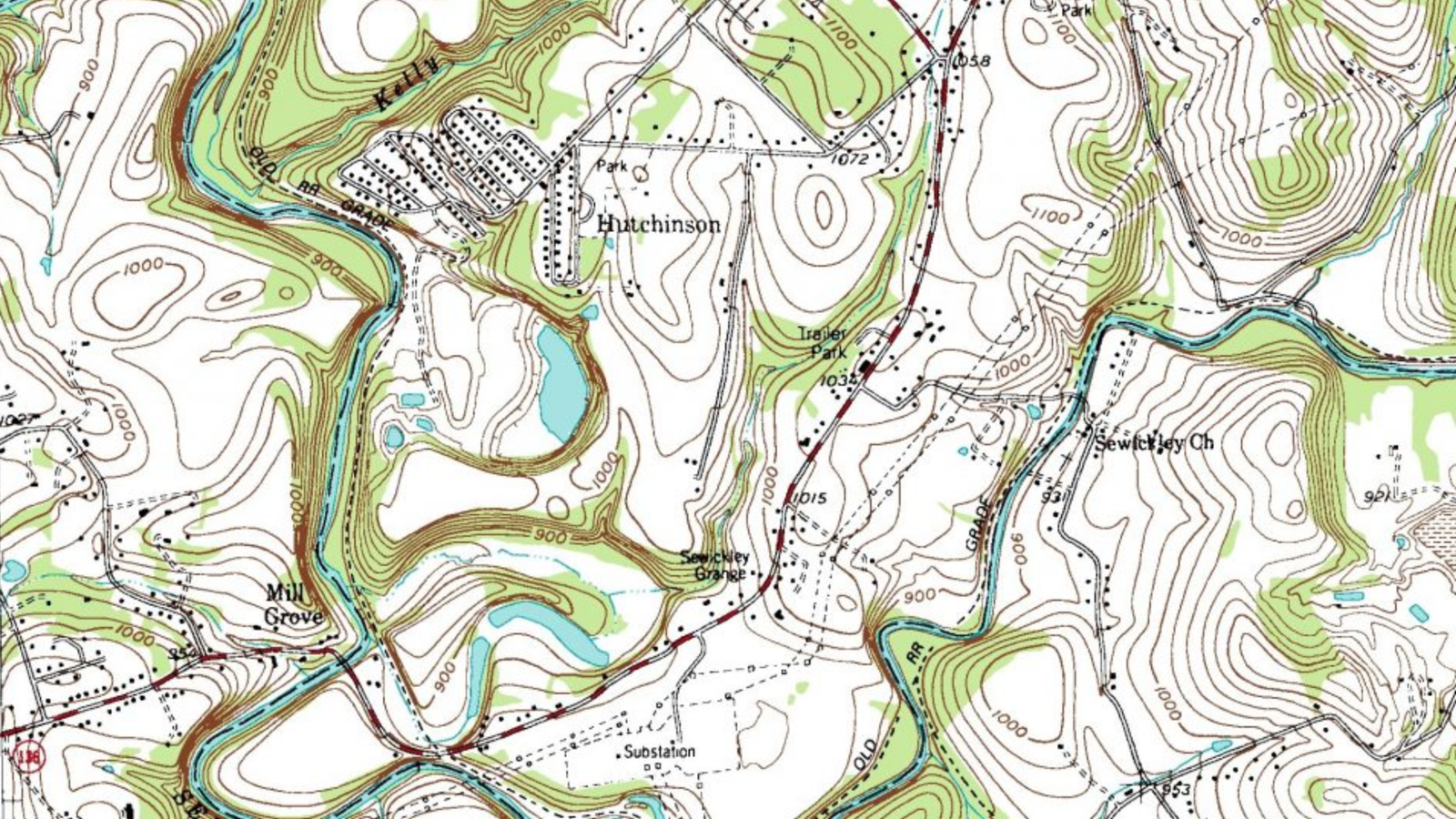
A topographical survey is a crucial step in any construction or development project. It involves the detailed mapping and charting of the land's natural and manmade features. This includes but is not limited to, elevations, contours, building locations, trees, watercourses, and utility poles. For any project in Dana Point, understanding the lay of the land is essential to ensure successful planning and execution.
Why Choose DEVCO Design and Drafting for Your Survey Needs?
- Local Expertise: As a local provider of topographical surveys in Dana Point, we have an intimate understanding of specific regional requirements and geological characteristics.
- Advanced Technology: We utilize the latest technology in surveying equipment and CAD software to provide accurate and efficient results.
- Professional Team: Our team comprises experienced professionals who are skilled in both the technical and practical aspects of surveying and drafting.
- DVBE Certified: We are proud to be a Disabled Veteran Business Enterprise (DVBE). We also hold certifications as SDVOSB, PDBE, SB-Micro, and SB-pw, underscoring our commitment to excellence and ethical business practices.
Our Topographical Survey Services Include:
- Detailed Site Analysis: We conduct thorough investigations to understand the site's characteristics thoroughly.
- Elevation and Contour Mapping: Essential for any construction project, our surveys accurately depict the gradient and topography of the land.
- Natural Feature Documentation: From tree positions to water bodies, our surveys encompass all natural elements critical to project planning.
- Manmade Feature Mapping: We document all existing structures, utilities, and other manmade features that could impact your project.
How Can a Topographical Survey Benefit Your Dana Point Project?
- Risk Mitigation: By understanding the terrain and existing features, you can anticipate potential issues and plan accordingly.
- Regulatory Compliance: Our surveys help ensure that your project meets all local zoning laws, building codes, and environmental regulations.
- Budget Management: Accurate surveys help in precise budgeting and can prevent costly mid-project modifications.
Interested in learning about the cost of a topographical survey for your next project in Dana Point? Click here for detailed information.
Contact Us Today!
Ready to start your project in Dana Point with the best in the business? Contact DEVCO Design and Drafting at (951) 528-2698 or email us at info@landsurveycalifornia.com. Our friendly and professional team is here to provide you with top-notch surveying solutions tailored to your specific needs.
Choose DEVCO Design and Drafting for reliable, accurate, and professional topographical survey services in Dana Point, where your project’s success is our highest priority.
Listing Details
-
CategoryTopographical Survey
-
CountyOrange County
-
CityDana Point
-
Contact Emailinfo@devcodesignanddrafting.com
-
Phone Number(951) 528-2698